Global monitoring
ELPIDA DEFENCE / ELPIDA-GLOBAL · Unified operations
Global risk map
GLOBAL COVERAGE / DEMO
2,000 km
WGS 84 · 1.0×
Risk layers
8 VECTORSDeforestation4 illustrative signals
Wildfire4 illustrative signals
Conflict2 illustrative signals
Chemical2 illustrative signals
Biological0 illustrative signals
Radiological0 illustrative signals
UV radiation1 illustrative signals
Geomagnetic0 illustrative signals
Satellite proxies are not confirmation of biological or radiological hazards.
Recent risk signals DEMO
View all| EVENT / LOCATION | RISK VECTOR | SEVERITY | DETECTED |
|---|---|---|---|
| Thermal anomaly clusterAttica, Greece | Wildfire | ● CRITICAL | 12 min ago |
| Forest canopy changeCentral Africa | Deforestation | ● HIGH | 28 min ago |
| Surface change detectedEastern Europe | Conflict | ● HIGH | 42 min ago |
| Atmospheric anomalySouth Asia | Chemical | ● MODERATE | 1 hr ago |
| Vegetation stressSouth America | Deforestation | ● HIGH | 1 hr ago |
| Thermal anomalyWestern North America | Wildfire | ● HIGH | 2 hr ago |
| Elevated UV indexAustralia | UV radiation | ● MODERATE | 2 hr ago |
| Surface change detectedMiddle East | Conflict | ● HIGH | 3 hr ago |
| Vegetation anomalySoutheast Asia | Deforestation | ● MODERATE | 3 hr ago |
| Thermal anomalySouthern Africa | Wildfire | ● MODERATE | 4 hr ago |
| Atmospheric anomalyNorthern China | Chemical | ● MODERATE | 4 hr ago |
| Canopy changeCentral America | Deforestation | ● LOW | 5 hr ago |
Satellite pipeline
SETUPData catalogLive search available
Cloud recordsAvailable
Inference engineAwaiting model
Illustrative optical sceneRGB / SYNTHETIC
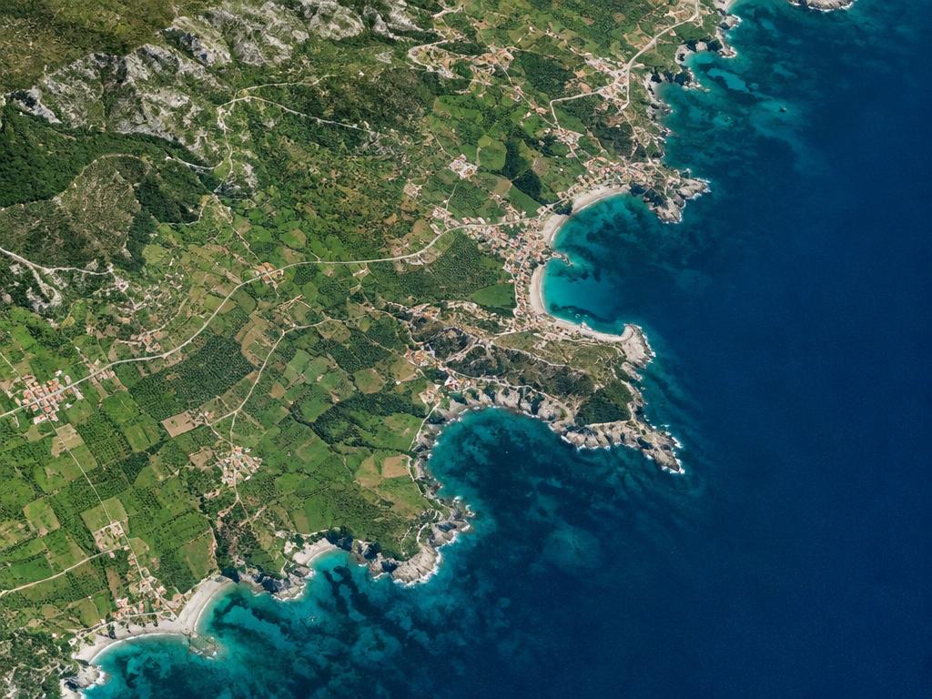
Live Sentinel catalog
COPERNICUS / ODATAOptical L2A · Vegetation / RGB imagery · Default: past 30 days